


The City of Rowlett, Tex. ended up with a $478,000 change order after it had to purchase the property it incorrectly erected a tower upon
When Rowlett, Tex. officials found out in March that they had constructed a police communications 325-foot tower on a neighbor’s plot of land and not city property, they fixed the error, as reported by Wireless Estimator, by paying $478,000 additional to buy the adjoining lot. Otherwise, they would have incurred a $400,000 penalty for not having the tower constructed to tie into a multi-jurisdictional police communications system in the required timeline.
Rowlett’s City Manager, Brian Funderburk, at that time said, “The city recognizes the concern this situation generates and is engaging an independent party to conduct a thorough review to determine how the miscalculation occurred.”
The $30,000 report by Wendorf Beward & Partners, LLC was issued last week, but it’s unlikely that the city will be able to recapture any additional expenses caused by the error because it was identified that the city was at fault since it made a mistake in the legal description on the original deed, and for many years county records showed that the city owned both properties in an appraisal district database.
Although the deed was corrected in 2012, city officials failed to notify the Dallas Central Appraisal District (DCAD).
Rhodes Surveying utilized the DCAD database to determine property ownership before field survey efforts instead of a deed of record search, according to the 66-page report that said, “A significant contributing factor was the lack of quality assurance and quality control in City processes and procedures in multiple areas.”
The report also noted that Rhodes Surveying “was not contracted for ownership determination. Rhodes utilization of Dallas Central Appraisal District website information was an expedient and poor practice that led to an error in ownership determination.”
DCAD specifically warns users not to solely rely on DCAD records for determination of ownership status.
It was also noted that Development Services Senior Planner Garrett Langford did not require proof of property ownership from the Fire Department prior to development plan approval as required by City code.
The report also said design consulting firm Kimley-Horn “did not ask critical questions regarding the site ownership or background when developing the scope of work with Assistant City Manager Jim Proce.”
“As the Kimley Horn document reads, Kimley Horn has no liability from the authors perspective,” the report said.
However, it said the Kimley Horn scope of work should have been written towards a “City” rather than a “Developer”.
“If this had been done, it is likely that Kimley Horn would have been tasked with key project information review rather than reliance on information provided by the City (owner) as ‘correct.’ It would have been highly likely that the entire construction mistake would have been avoided and the Tower would have been correctly designed and built on Lot 2. If Kimley Horn had been responsible and the error still occurred, Kimley Horn’s Errors and Omissions resources could have been utilized to correct a subsequent error,” the report noted.
The report said there were many missed opportunities where the city could have easily found out that the site was being built on private property.
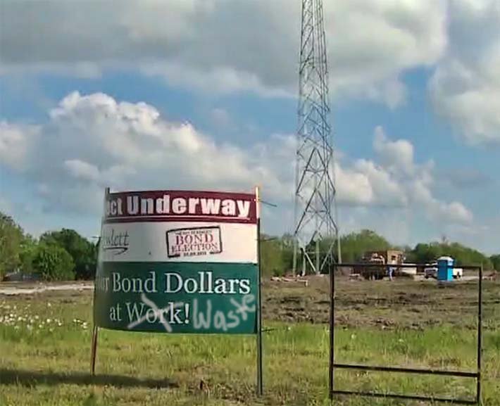
One glaring error occurred on Nov. 3, 2016, before installation of the tower when the property owners’ son confronted a City parks worker who was erecting a sign announcing the bond project that would pay for the tower, and told him that the “City was placing dirt on his property”.
However, when Fire Chief Neil Howard received that message from the Director of Parks and Recreation, he presumed that the owner was “incorrectly receiving fill.”
