


CAN YOU RESIST PUTTING IN YOUR ADDRESS? The map added approximately 2.96 million new locations and removed 1.92 million locations from the first version released in November.
The Office of Economics and Analytics, in conjunction with the Wireline Competition Bureau, has released the Broadband Funding Map. The map and its underlying data can be found here.
The Infrastructure Investment and Jobs Act (IIJA) requires the Commission “to establish an online mapping tool to provide a locations overview of the overall geographic footprint of each broadband infrastructure deployment project funded by the Federal Government.”
The map released on Monday contains data received from the Department of Agriculture (USDA), the National Telecommunications and Information Administration (NTIA), the Department of Treasury, and the Commission’s data.
Any funding data submitted to the Commission by other federal agencies in the future will be added to the map as part of regular updates the Commission will make to the map by the IIJA.
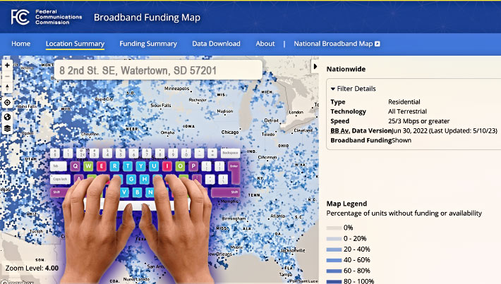
The Broadband Funding Map allows users to identify, search, and filter federal funding programs by the internet service provider receiving funding, the duration timeline, the number of locations included in the project, and the download and upload speeds.
In addition to depicting where broadband funding exists, the map contains broadband availability data as of June 30, 2022—the same data currently appearing on the National Broadband Map. The map will also be updated when the Commission releases more recently available data on the National Broadband Map.
The National Telecommunications and Information Administration will use the map to distribute to the states by June 30 the $42.5 billion from the Broadband Equity, Access, and Deployment program.


